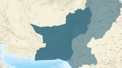
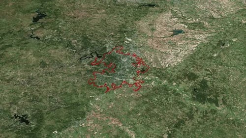
Animated Map of Pakistan with Zoom and Border Highlight
By jasejlaOne great value subscription from €14.50/month
- Unlimited downloads of 27+ million creative assets
- AI Tools: video, image and more
- Lifetime commercial license
- Easy cancellation
Already have an account? Sign in
Attributes
- Length
- 0:19
- Resolution
- 1920 x 1080
- File Size
- 81.8 MB
- Frame Rate
- 30 fps
- Alpha Channel
- No
- Looped
- No
- Video Encoding
- H.264
- Orientation
- Horizontal
- Commercial License
- Further Information
Description
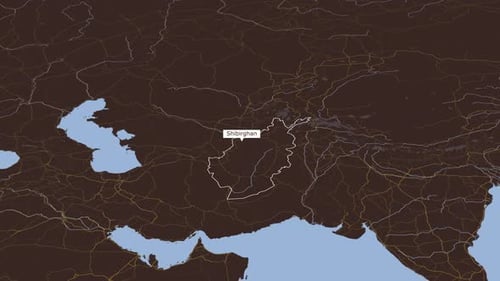
This animated map visualizes the country of Pakistan, featuring a detailed topographic background that highlights its diverse terrain, from expansive coastal regions along the Arabian Sea to the rugged mountainous areas bordering Afghanistan and India. The motion graphic smoothly zooms into the nation, progressively revealing its geographical boundaries which are clearly demarcated with a vibrant red outline, making its shape unmistakable. Major cities and provinces, including Islamabad, Lahore, Karachi, Baluchistan, and Punjab, are distinctly labeled for easy identification, enhancing the informational value. The clean and modern aesthetic, combined with precise geometric highlighting, makes this visual asset perfect for educational content, geopolitical analyses, travel documentaries, news broadcasts, or any project requiring a clear, precise, and engaging representation of Pakistan's geography and administrative divisions for global audiences.